Millennium Park
Introduction
The photograph on this page of Millennium Park by Rob Burke as part of the Geograph project.
The Geograph project started in 2005 with the aim of publishing, organising and preserving representative images for every square kilometre of Great Britain, Ireland and the Isle of Man.

There are currently over 7.5m images from over 14,400 individuals and you can help contribute to the project by visiting https://www.geograph.org.uk
Millennium Park
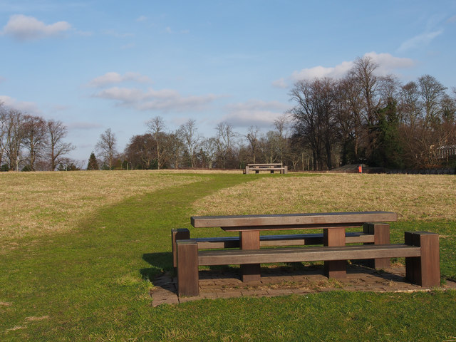
Image: © Rob Burke Taken: 17 Feb 2013
An area of open parkland with paths and picnic tables, managed by the community council.
Images are licensed for reuse under creativecommons.org/licenses/by-sa/2.0
Image Location
Latitude
56.397877
Longitude
-3.414932