Hatton Road
Introduction
The photograph on this page of Hatton Road by Rob Burke as part of the Geograph project.
The Geograph project started in 2005 with the aim of publishing, organising and preserving representative images for every square kilometre of Great Britain, Ireland and the Isle of Man.

There are currently over 7.5m images from over 14,400 individuals and you can help contribute to the project by visiting https://www.geograph.org.uk
Hatton Road
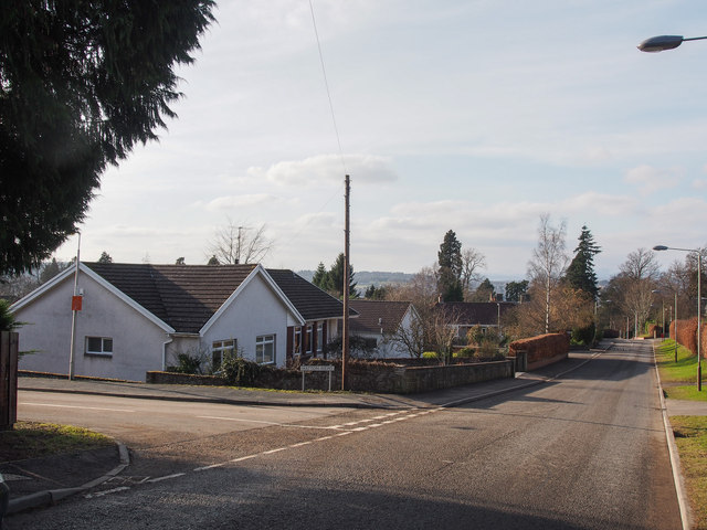
Image: © Rob Burke Taken: 17 Feb 2013
Looking down the hill, with Hatton Mews on the left. The houses here are more recent than those lower down the hill, and the roads are wider.
Images are licensed for reuse under creativecommons.org/licenses/by-sa/2.0
Image Location
Latitude
56.396091
Longitude
-3.412323