Redbrook Road houses adjacent to a former railway, Monmouth
Introduction
The photograph on this page of Redbrook Road houses adjacent to a former railway, Monmouth by Jaggery as part of the Geograph project.
The Geograph project started in 2005 with the aim of publishing, organising and preserving representative images for every square kilometre of Great Britain, Ireland and the Isle of Man.

There are currently over 7.5m images from over 14,400 individuals and you can help contribute to the project by visiting https://www.geograph.org.uk
Redbrook Road houses adjacent to a former railway, Monmouth
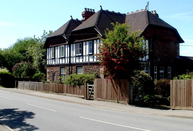
Image: © Jaggery Taken: 2 May 2011
These two semis are the only houses on the west side of Redbrook Road in this area. There was formerly a railway behind the houses, running parallel with Redbrook Road, between Monmouth Mayhill railway station to the north and Monmouth Troy railway station to the south. Though the stations closed decades ago and the track has long since been lifted, reminders of the railway remain in the shape of two nearby former railway bridges across the River Wye.
Images are licensed for reuse under creativecommons.org/licenses/by-sa/2.0
Image Location
Latitude
51.809186
Longitude
-2.707197