Blocked footpath to Crown Quay, Sittingbourne
Introduction
The photograph on this page of Blocked footpath to Crown Quay, Sittingbourne by David Anstiss as part of the Geograph project.
The Geograph project started in 2005 with the aim of publishing, organising and preserving representative images for every square kilometre of Great Britain, Ireland and the Isle of Man.

There are currently over 7.5m images from over 14,400 individuals and you can help contribute to the project by visiting https://www.geograph.org.uk
Blocked footpath to Crown Quay, Sittingbourne
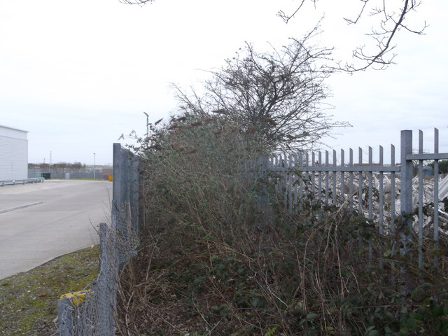
Image: © David Anstiss Taken: 16 Feb 2013
A path leads from Eurolink Way (beside a retail park - on the left) and then it should lead to a road through the disused Crown Quay industrial estate (near the Milton Creek). But this is not used very frequently and buddleia have grown-up to block the path. On the right is Image
Images are licensed for reuse under creativecommons.org/licenses/by-sa/2.0
Image Location
Latitude
51.344598
Longitude
0.737512