Date stone, Vale of Leven Bowling Club
Introduction
The photograph on this page of Date stone, Vale of Leven Bowling Club by Lairich Rig as part of the Geograph project.
The Geograph project started in 2005 with the aim of publishing, organising and preserving representative images for every square kilometre of Great Britain, Ireland and the Isle of Man.

There are currently over 7.5m images from over 14,400 individuals and you can help contribute to the project by visiting https://www.geograph.org.uk
Date stone, Vale of Leven Bowling Club
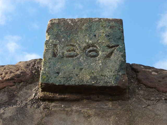
Image: © Lairich Rig Taken: 6 Feb 2013
This stone appears above an old entrance to the bowling club (which was founded in 1867) from Main Street; see also Image
Images are licensed for reuse under creativecommons.org/licenses/by-sa/2.0
Image Location
Latitude
55.989273
Longitude
-4.583375