Ffarm Castell y Gwynt / Castell y Gwynt Farm
Introduction
The photograph on this page of Ffarm Castell y Gwynt / Castell y Gwynt Farm by Alan Richards as part of the Geograph project.
The Geograph project started in 2005 with the aim of publishing, organising and preserving representative images for every square kilometre of Great Britain, Ireland and the Isle of Man.

There are currently over 7.5m images from over 14,400 individuals and you can help contribute to the project by visiting https://www.geograph.org.uk
Ffarm Castell y Gwynt / Castell y Gwynt Farm
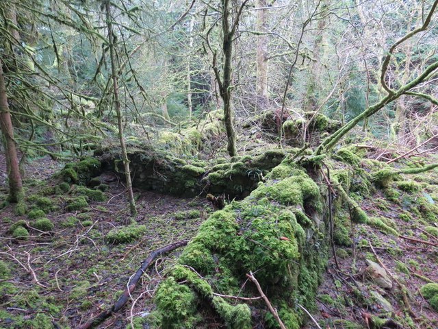
Image: © Alan Richards Taken: 17 Feb 2013
Gweddillion Ffarm Castell y Gwynt sy wedi ei hamgylchynu bellach gan blanhigfa coniferaidd. Mae hen heol gerllaw. The remains of Castell y Gwynt Farm (trans. castle of the wind) which is surrounded today by a conifer plantation. Nearby is an old road.
Images are licensed for reuse under creativecommons.org/licenses/by-sa/2.0
Image Location
Latitude
51.956346
Longitude
-4.107772