Rushley Park Pond
Introduction
The photograph on this page of Rushley Park Pond by Glyn Baker as part of the Geograph project.
The Geograph project started in 2005 with the aim of publishing, organising and preserving representative images for every square kilometre of Great Britain, Ireland and the Isle of Man.

There are currently over 7.5m images from over 14,400 individuals and you can help contribute to the project by visiting https://www.geograph.org.uk
Rushley Park Pond
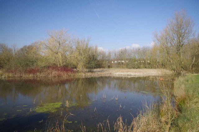
Image: © Glyn Baker Taken: 17 Feb 2013
Rushley Park was created in the early 1980's and became the responsibility of Basildon Council in 1994. It is accessed from Burnt Mills Road via an anonymous path.
Images are licensed for reuse under creativecommons.org/licenses/by-sa/2.0
Image Location
Latitude
51.582649
Longitude
0.521551