Church Street, Sandiacre, Derbys.
Introduction
The photograph on this page of Church Street, Sandiacre, Derbys. by David Hallam-Jones as part of the Geograph project.
The Geograph project started in 2005 with the aim of publishing, organising and preserving representative images for every square kilometre of Great Britain, Ireland and the Isle of Man.

There are currently over 7.5m images from over 14,400 individuals and you can help contribute to the project by visiting https://www.geograph.org.uk
Church Street, Sandiacre, Derbys.
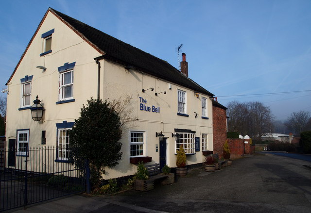
Image: © David Hallam-Jones Taken: 16 Feb 2013
The Blue Bell pub on Church Street on the northern side of Sandiacre, close to the Parish Church. The black & white hooped bollards marks where the road divides into two. Church Street becoming Stanton Road around a left hand bend in the road whilst Church Drive descends towards the church and to where the 17th century village "lock-up and pound for stray animals" can be seen.
Images are licensed for reuse under creativecommons.org/licenses/by-sa/2.0
Image Location
Latitude
52.928726
Longitude
-1.288588