Former RAF Quedgeley
Introduction
The photograph on this page of Former RAF Quedgeley by Philip Halling as part of the Geograph project.
The Geograph project started in 2005 with the aim of publishing, organising and preserving representative images for every square kilometre of Great Britain, Ireland and the Isle of Man.

There are currently over 7.5m images from over 14,400 individuals and you can help contribute to the project by visiting https://www.geograph.org.uk
Former RAF Quedgeley
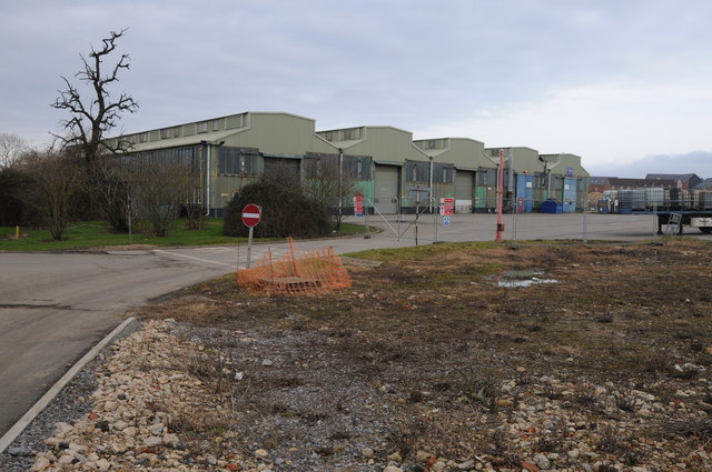
Image: © Philip Halling Taken: 16 Feb 2013
Buildings on the former RAF Quedgeley. This site closed in 1995 and has since been used by industry and now many vacant land awaiting redevelopment.
Images are licensed for reuse under creativecommons.org/licenses/by-sa/2.0
Image Location
Latitude
51.818462
Longitude
-2.271824