The A38 at Quedgeley
Introduction
The photograph on this page of The A38 at Quedgeley by Philip Halling as part of the Geograph project.
The Geograph project started in 2005 with the aim of publishing, organising and preserving representative images for every square kilometre of Great Britain, Ireland and the Isle of Man.

There are currently over 7.5m images from over 14,400 individuals and you can help contribute to the project by visiting https://www.geograph.org.uk
The A38 at Quedgeley
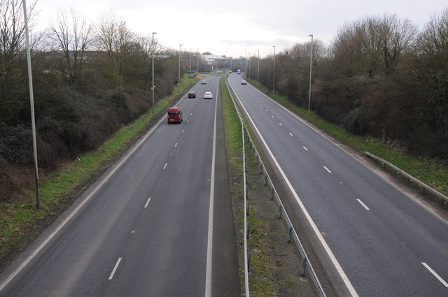
Image: © Philip Halling Taken: 16 Feb 2013
The A38 was rerouted along this then newly built dual carriageway around thirty years ago. The original A38 runs parallel to the west and is now the B4008.
Images are licensed for reuse under creativecommons.org/licenses/by-sa/2.0
Image Location
Latitude
51.818988
Longitude
-2.277485