Mill Road heading towards New Cut Mill
Introduction
The photograph on this page of Mill Road heading towards New Cut Mill by Roger Templeman as part of the Geograph project.
The Geograph project started in 2005 with the aim of publishing, organising and preserving representative images for every square kilometre of Great Britain, Ireland and the Isle of Man.

There are currently over 7.5m images from over 14,400 individuals and you can help contribute to the project by visiting https://www.geograph.org.uk
Mill Road heading towards New Cut Mill
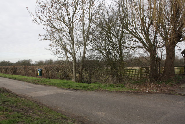
Image: © Roger Templeman Taken: 16 Feb 2013
In 1973 the Ordnance Survey verified a rivet benchmark, http://www.bench-marks.org.uk/bm22927 on a culvert for the ditch on the right hand side of the road at the junction of the hedge and fence. There is no sign of a culvert now. The fence is the boundary of the house at the west end of the housing along Mill Road
Images are licensed for reuse under creativecommons.org/licenses/by-sa/2.0
Image Location
Latitude
51.664313
Longitude
-1.303352