Pinxton Wharf
Introduction
The photograph on this page of Pinxton Wharf by Jonathan Clitheroe as part of the Geograph project.
The Geograph project started in 2005 with the aim of publishing, organising and preserving representative images for every square kilometre of Great Britain, Ireland and the Isle of Man.

There are currently over 7.5m images from over 14,400 individuals and you can help contribute to the project by visiting https://www.geograph.org.uk
Pinxton Wharf
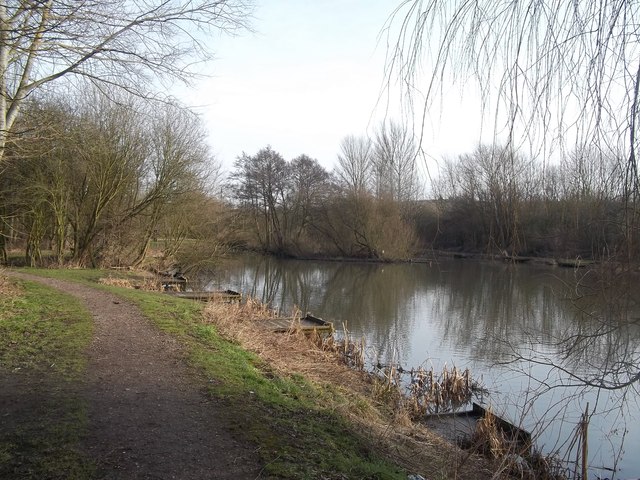
Image: © Jonathan Clitheroe Taken: 16 Feb 2013
Looking towards the terminus of the Pinxton Arm of the Cromford Canal, originally a 3 mile stretch of water which was used to transport Pinxton Porcelain. It has long fallen into disuse but in keeping with the renewed interest in Britain's lost waterways, plans are afoot to restore this whole section.
Images are licensed for reuse under creativecommons.org/licenses/by-sa/2.0
Image Location
Latitude
53.084631
Longitude
-1.32454