Thames Path: Mouth of Beverley Brook
Introduction
The photograph on this page of Thames Path: Mouth of Beverley Brook by Dr Neil Clifton as part of the Geograph project.
The Geograph project started in 2005 with the aim of publishing, organising and preserving representative images for every square kilometre of Great Britain, Ireland and the Isle of Man.

There are currently over 7.5m images from over 14,400 individuals and you can help contribute to the project by visiting https://www.geograph.org.uk
Thames Path: Mouth of Beverley Brook
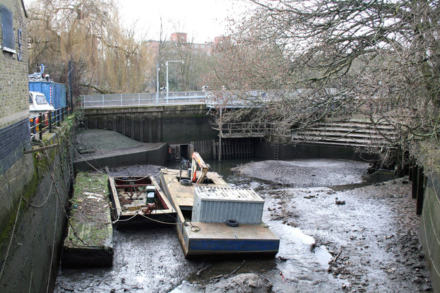
Image: © Dr Neil Clifton Taken: 16 Feb 2013
This small inlet is fed by Beverley Brook which enters through a culvert. It is seen here at low tide on the Thames, and is used for storing maintenance boats off the main River Thames.
Images are licensed for reuse under creativecommons.org/licenses/by-sa/2.0
Image Location
Latitude
51.471303
Longitude
-0.223716