Heading towards Royston
Introduction
The photograph on this page of Heading towards Royston by Christine Johnstone as part of the Geograph project.
The Geograph project started in 2005 with the aim of publishing, organising and preserving representative images for every square kilometre of Great Britain, Ireland and the Isle of Man.

There are currently over 7.5m images from over 14,400 individuals and you can help contribute to the project by visiting https://www.geograph.org.uk
Heading towards Royston
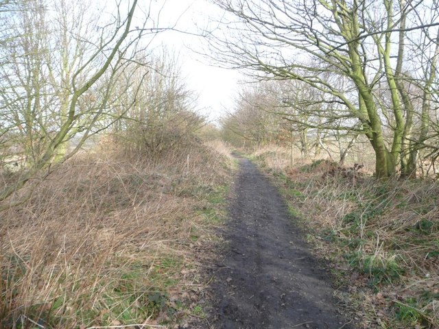
Image: © Christine Johnstone Taken: 16 Feb 2013
This former railway line closed to passengers in 1930, and to freight in 1961. It is now part of the Royston and Carlton boundary walk.
Images are licensed for reuse under creativecommons.org/licenses/by-sa/2.0
Image Location
Latitude
53.589694
Longitude
-1.482998