West-east section of Clos Carno, Bettws, Newport
Introduction
The photograph on this page of West-east section of Clos Carno, Bettws, Newport by Jaggery as part of the Geograph project.
The Geograph project started in 2005 with the aim of publishing, organising and preserving representative images for every square kilometre of Great Britain, Ireland and the Isle of Man.

There are currently over 7.5m images from over 14,400 individuals and you can help contribute to the project by visiting https://www.geograph.org.uk
West-east section of Clos Carno, Bettws, Newport
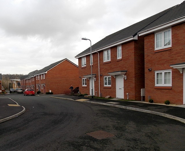
Image: © Jaggery Taken: 15 Feb 2013
Clos Carno is an L-shaped cul-de-sac of recently-built houses. Viewed from the southern end of the section oriented north-south. http://www.geograph.org.uk/photo/3332705
Images are licensed for reuse under creativecommons.org/licenses/by-sa/2.0
Image Location
Latitude
51.607744
Longitude
-3.018