Roads in Reevesland Industrial Estate, Newport
Introduction
The photograph on this page of Roads in Reevesland Industrial Estate, Newport by Jaggery as part of the Geograph project.
The Geograph project started in 2005 with the aim of publishing, organising and preserving representative images for every square kilometre of Great Britain, Ireland and the Isle of Man.

There are currently over 7.5m images from over 14,400 individuals and you can help contribute to the project by visiting https://www.geograph.org.uk
Roads in Reevesland Industrial Estate, Newport
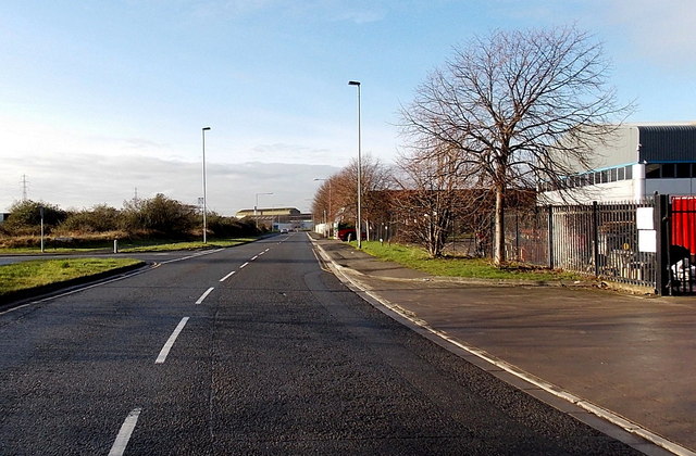
Image: © Jaggery Taken: 11 Jan 2013
A view from outside the Noel Fitzpatrick depot http://www.geograph.org.uk/photo/3330482 in Langland Road looking past the left turn for Caswell Road, along Oxwich Road. The local street naming committee probably had fond memories of holidays in the Gower Peninsula, as these road names are three of the Gower's bays...
Images are licensed for reuse under creativecommons.org/licenses/by-sa/2.0
Image Location
Latitude
51.57211
Longitude
-2.968144