Waggonway crossing Lumley Park Burn, 1968
Introduction
The photograph on this page of Waggonway crossing Lumley Park Burn, 1968 by Derek Harper as part of the Geograph project.
The Geograph project started in 2005 with the aim of publishing, organising and preserving representative images for every square kilometre of Great Britain, Ireland and the Isle of Man.

There are currently over 7.5m images from over 14,400 individuals and you can help contribute to the project by visiting https://www.geograph.org.uk
Waggonway crossing Lumley Park Burn, 1968
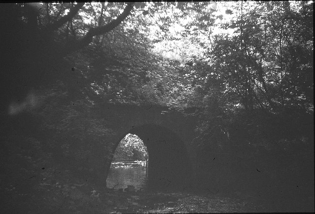
Image: © Derek Harper Taken: Unknown
This old bridge led to the Whitehouse coal pit (Lumley 9th pit), and would only have been used for about 14 years for coal traffic, but now carries footpath 050/24/01 and an arm of the Weardale Way.
Images are licensed for reuse under creativecommons.org/licenses/by-sa/2.0
Image Location
Latitude
54.849609
Longitude
-1.541779