Llwybr cyhoeddus Bryn Du / Bryn Du footpath
Introduction
The photograph on this page of Llwybr cyhoeddus Bryn Du / Bryn Du footpath by Alan Richards as part of the Geograph project.
The Geograph project started in 2005 with the aim of publishing, organising and preserving representative images for every square kilometre of Great Britain, Ireland and the Isle of Man.

There are currently over 7.5m images from over 14,400 individuals and you can help contribute to the project by visiting https://www.geograph.org.uk
Llwybr cyhoeddus Bryn Du / Bryn Du footpath
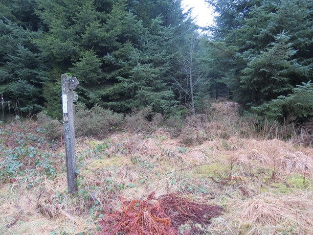
Image: © Alan Richards Taken: 11 Feb 2013
Llwybr cyhoeddus yn mynd i mewn i'r blanhigfa tuag at Fryn Du. Ymddengys nad oes llawer yn ei ddefnyddio. A footpath entering the conifer plantation in the direction of Bryn Du. It appears that the path is used very infrequently.
Images are licensed for reuse under creativecommons.org/licenses/by-sa/2.0
Image Location
Latitude
51.908897
Longitude
-3.649767