Wraymead Place
Introduction
The photograph on this page of Wraymead Place by Ian Capper as part of the Geograph project.
The Geograph project started in 2005 with the aim of publishing, organising and preserving representative images for every square kilometre of Great Britain, Ireland and the Isle of Man.

There are currently over 7.5m images from over 14,400 individuals and you can help contribute to the project by visiting https://www.geograph.org.uk
Wraymead Place
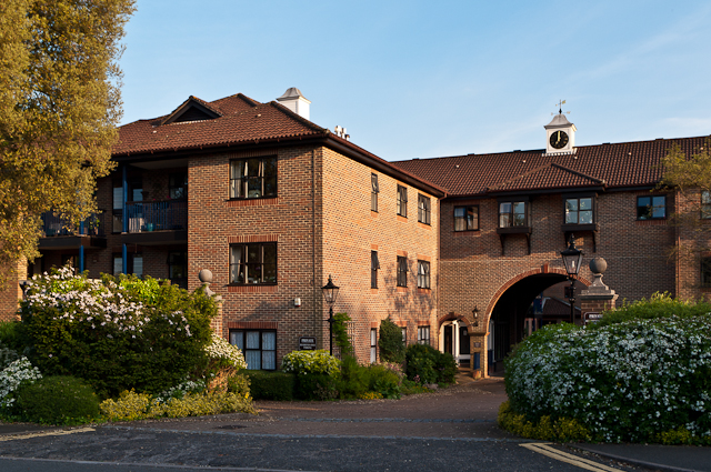
Image: © Ian Capper Taken: 27 May 2012
A sheltered housing development on Wray Park Road, completed in 1988 and built on the site of the original Ellen Terry Home.
Images are licensed for reuse under creativecommons.org/licenses/by-sa/2.0
Image Location
Latitude
51.243787
Longitude
-0.197693