Moel y Gaer
Introduction
The photograph on this page of Moel y Gaer by Rude Health as part of the Geograph project.
The Geograph project started in 2005 with the aim of publishing, organising and preserving representative images for every square kilometre of Great Britain, Ireland and the Isle of Man.

There are currently over 7.5m images from over 14,400 individuals and you can help contribute to the project by visiting https://www.geograph.org.uk
Moel y Gaer
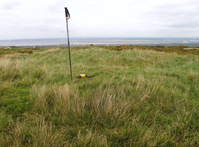
Image: © Rude Health Taken: 17 Oct 2010
Parked to NNE and used one of many paths to walk around summit rampards, then onto summit covered reservoir before finding wall of hollowed tumulus. Great views today. Name: Moel y Gaer Hill number: 5164 Height: 303.7m / 996ft Area: 30C: Llandudno to Wrexham Class: Hu Grid ref: SJ 21068 69081 Summit feature: wall of hollowed tumulus Drop: 126m Col: 178m SJ106750
Images are licensed for reuse under creativecommons.org/licenses/by-sa/2.0
Image Location
Latitude
53.212984
Longitude
-3.183543