Holy Trinity Church, Pelton
Introduction
The photograph on this page of Holy Trinity Church, Pelton by Robert Graham as part of the Geograph project.
The Geograph project started in 2005 with the aim of publishing, organising and preserving representative images for every square kilometre of Great Britain, Ireland and the Isle of Man.

There are currently over 7.5m images from over 14,400 individuals and you can help contribute to the project by visiting https://www.geograph.org.uk
Holy Trinity Church, Pelton
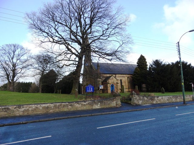
Image: © Robert Graham Taken: 6 Feb 2013
Dates from 1841, obviously from the time when the village expanded with the increase in coal mining in the area.
Images are licensed for reuse under creativecommons.org/licenses/by-sa/2.0
Image Location
Latitude
54.871617
Longitude
-1.617262