NW boundary of Penarth
Introduction
The photograph on this page of NW boundary of Penarth by Jaggery as part of the Geograph project.
The Geograph project started in 2005 with the aim of publishing, organising and preserving representative images for every square kilometre of Great Britain, Ireland and the Isle of Man.

There are currently over 7.5m images from over 14,400 individuals and you can help contribute to the project by visiting https://www.geograph.org.uk
NW boundary of Penarth
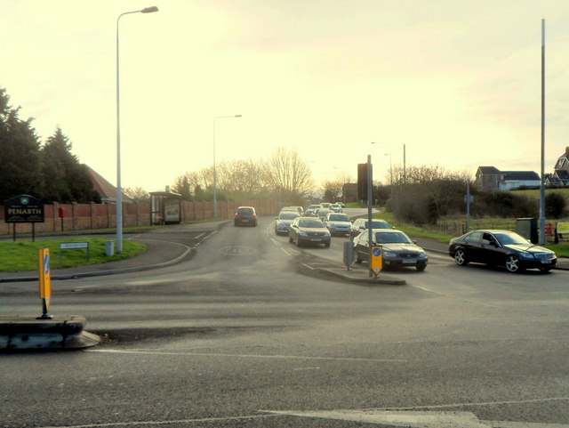
Image: © Jaggery Taken: 9 Dec 2012
A view SE along the B4267 Redlands Road. The gold on black Penarth boundary sign is on the left.
Images are licensed for reuse under creativecommons.org/licenses/by-sa/2.0
Image Location
Latitude
51.443471
Longitude
-3.198089