Kirkwood
Introduction
The photograph on this page of Kirkwood by Richard Croft as part of the Geograph project.
The Geograph project started in 2005 with the aim of publishing, organising and preserving representative images for every square kilometre of Great Britain, Ireland and the Isle of Man.

There are currently over 7.5m images from over 14,400 individuals and you can help contribute to the project by visiting https://www.geograph.org.uk
Kirkwood
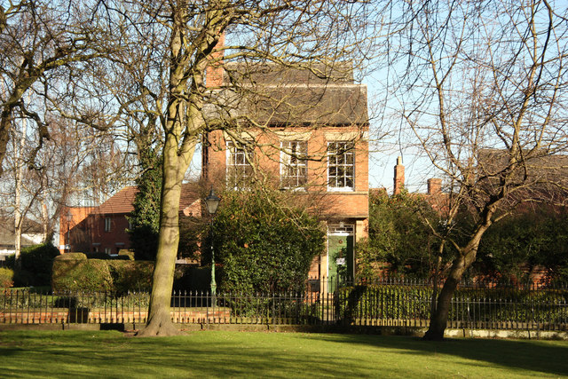
Image: © Richard Croft Taken: 2 Feb 2013
View across St.Mary's churchyard to the handsome 19th century house, Kirkwood, 4 Kirkgate http://www.geograph.org.uk/photo/360404
Images are licensed for reuse under creativecommons.org/licenses/by-sa/2.0
Image Location
Latitude
53.076616
Longitude
-0.807133