Towards Shipston
Introduction
The photograph on this page of Towards Shipston by Graham Horn as part of the Geograph project.
The Geograph project started in 2005 with the aim of publishing, organising and preserving representative images for every square kilometre of Great Britain, Ireland and the Isle of Man.

There are currently over 7.5m images from over 14,400 individuals and you can help contribute to the project by visiting https://www.geograph.org.uk
Towards Shipston
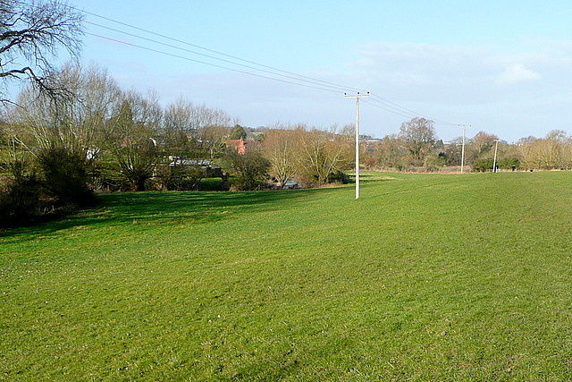
Image: © Graham Horn Taken: 4 Feb 2013
This footpath, used by Shakespeare's Way, makes its way across pastures above the River Stour, to our left here, following the line of telegraph poles.
Images are licensed for reuse under creativecommons.org/licenses/by-sa/2.0
Image Location
Latitude
52.057767
Longitude
-1.619288