View east from Wrack Road across the Mullagh valley
Introduction
The photograph on this page of View east from Wrack Road across the Mullagh valley by Eric Jones as part of the Geograph project.
The Geograph project started in 2005 with the aim of publishing, organising and preserving representative images for every square kilometre of Great Britain, Ireland and the Isle of Man.

There are currently over 7.5m images from over 14,400 individuals and you can help contribute to the project by visiting https://www.geograph.org.uk
View east from Wrack Road across the Mullagh valley
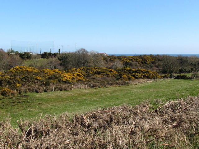
Image: © Eric Jones Taken: 18 Mar 2011
A drop in sea level led the rejuvenated Mullagh to cut deep into the surface of the newly emergent land. The valley sides are steep and of little use for farming. Most are covered by whins. The netting in the background is at the Cois na Fhairaige GAA club. Image]
Images are licensed for reuse under creativecommons.org/licenses/by-sa/2.0
Image Location
Latitude
54.07315
Longitude
-5.963737