Fallings Park Community Fire Station
Introduction
The photograph on this page of Fallings Park Community Fire Station by John M as part of the Geograph project.
The Geograph project started in 2005 with the aim of publishing, organising and preserving representative images for every square kilometre of Great Britain, Ireland and the Isle of Man.

There are currently over 7.5m images from over 14,400 individuals and you can help contribute to the project by visiting https://www.geograph.org.uk
Fallings Park Community Fire Station
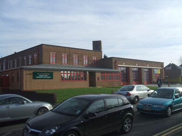
Image: © John M Taken: 4 Feb 2007
Situated at a busy intersection the fire station is handily placed to serve the North of Wolverhampton. The low level extension is a recent addition.
Images are licensed for reuse under creativecommons.org/licenses/by-sa/2.0
Image Location
Latitude
52.60341
Longitude
-2.103906