A30 east of Carland Cross
Introduction
The photograph on this page of A30 east of Carland Cross by David Smith as part of the Geograph project.
The Geograph project started in 2005 with the aim of publishing, organising and preserving representative images for every square kilometre of Great Britain, Ireland and the Isle of Man.

There are currently over 7.5m images from over 14,400 individuals and you can help contribute to the project by visiting https://www.geograph.org.uk
A30 east of Carland Cross
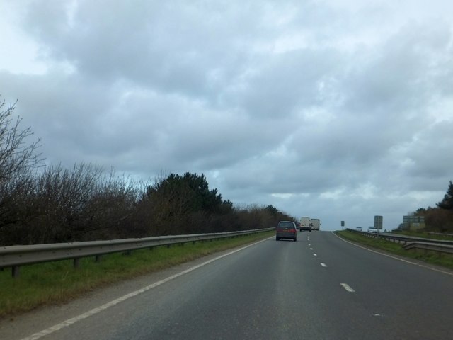
Image: © David Smith Taken: 1 Feb 2013
Close to the roundabout, there are two crash barriers in the central reservation; here is the end of one of them, leaving a single barrier on the dual carriageway.
Images are licensed for reuse under creativecommons.org/licenses/by-sa/2.0
Image Location
Latitude
50.347853
Longitude
-5.025896