House near Moretonhampstead
Introduction
The photograph on this page of House near Moretonhampstead by Derek Harper as part of the Geograph project.
The Geograph project started in 2005 with the aim of publishing, organising and preserving representative images for every square kilometre of Great Britain, Ireland and the Isle of Man.

There are currently over 7.5m images from over 14,400 individuals and you can help contribute to the project by visiting https://www.geograph.org.uk
House near Moretonhampstead
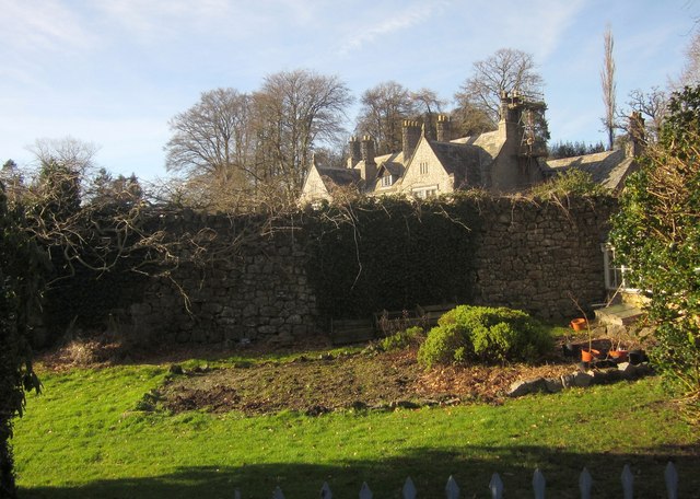
Image: © Derek Harper Taken: 2 Feb 2013
Mardon House was the rectory "until the time of the Rev Leadbitter in 1930" http://www.moretonhampstead.org.uk/texts/places/mardon.ghtml on the outskirts of the town, hidden in the Wray Brook valley. Here it is glimpsed over a wall from Moretonhampstead Footpath 25.
Images are licensed for reuse under creativecommons.org/licenses/by-sa/2.0
Image Location
Latitude
50.662167
Longitude
-3.760047