Pasture and field boundary, Shute Lane
Introduction
The photograph on this page of Pasture and field boundary, Shute Lane by Derek Harper as part of the Geograph project.
The Geograph project started in 2005 with the aim of publishing, organising and preserving representative images for every square kilometre of Great Britain, Ireland and the Isle of Man.

There are currently over 7.5m images from over 14,400 individuals and you can help contribute to the project by visiting https://www.geograph.org.uk
Pasture and field boundary, Shute Lane
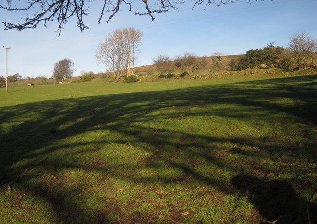
Image: © Derek Harper Taken: 2 Feb 2013
The view from the gate on the right of Image], opposite the view in Image], with a bank forming the field boundary between this pasture and the one shown in Image A mixture of black and white sheep in this field.
Images are licensed for reuse under creativecommons.org/licenses/by-sa/2.0
Image Location
Latitude
50.664093
Longitude
-3.751629