Site of Coxhoe Bridge station, 2000
Introduction
The photograph on this page of Site of Coxhoe Bridge station, 2000 by Ben Brooksbank as part of the Geograph project.
The Geograph project started in 2005 with the aim of publishing, organising and preserving representative images for every square kilometre of Great Britain, Ireland and the Isle of Man.

There are currently over 7.5m images from over 14,400 individuals and you can help contribute to the project by visiting https://www.geograph.org.uk
Site of Coxhoe Bridge station, 2000
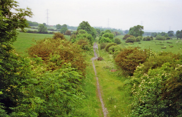
Image: © Ben Brooksbank Taken: 20 Jun 2000
View westward, towards Coxhoe Junction and Ferryhill: ex-North Eastern Ferryhill - West Hartlepool line. The station and line were closed 9/6/52, but goods continued from Ferryhill to Coxhoe Quarry until 9/6/84.
Images are licensed for reuse under creativecommons.org/licenses/by-sa/2.0
Image Location
Latitude
54.707794
Longitude
-1.494802