View from Mardon Down
Introduction
The photograph on this page of View from Mardon Down by Derek Harper as part of the Geograph project.
The Geograph project started in 2005 with the aim of publishing, organising and preserving representative images for every square kilometre of Great Britain, Ireland and the Isle of Man.

There are currently over 7.5m images from over 14,400 individuals and you can help contribute to the project by visiting https://www.geograph.org.uk
View from Mardon Down
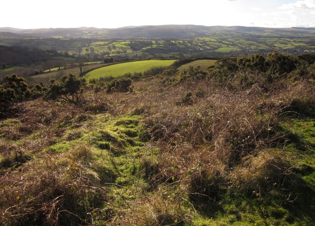
Image: © Derek Harper Taken: 2 Feb 2013
With gorse and bracken at the edge of the access land in the foreground. The fields beyond are between North Kingwell and Yarningale. Further away is the Wray valley south of Moretonhampstead; in the distance is Dartmoor.
Images are licensed for reuse under creativecommons.org/licenses/by-sa/2.0
Image Location
Latitude
50.665077
Longitude
-3.746005