Bench mark on Mortimer's Warehouse, Riverside
Introduction
The photograph on this page of Bench mark on Mortimer's Warehouse, Riverside by John S Turner as part of the Geograph project.
The Geograph project started in 2005 with the aim of publishing, organising and preserving representative images for every square kilometre of Great Britain, Ireland and the Isle of Man.

There are currently over 7.5m images from over 14,400 individuals and you can help contribute to the project by visiting https://www.geograph.org.uk
Bench mark on Mortimer's Warehouse, Riverside
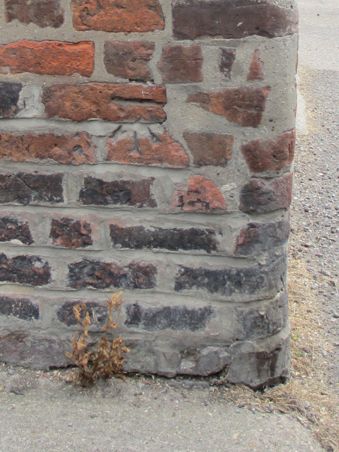
Image: © John S Turner Taken: 10 Sep 2012
This bench mark is on the south west corner of the Mortimer's Warehouse that is alongside the Driffield Navigation. For details of the mark see: http://www.bench-marks.org.uk/bm47113 There is a second Mortimer's Warehouse further west across the 'Riverside' road, which has its own bench mark.
Images are licensed for reuse under creativecommons.org/licenses/by-sa/2.0
Image Location


Leaflet Map data © OpenStreetMap
Latitude
54.00087
Longitude
-0.432554