"Pipeline" sign, Seahill
Introduction
The photograph on this page of "Pipeline" sign, Seahill by Albert Bridge as part of the Geograph project.
The Geograph project started in 2005 with the aim of publishing, organising and preserving representative images for every square kilometre of Great Britain, Ireland and the Isle of Man.

There are currently over 7.5m images from over 14,400 individuals and you can help contribute to the project by visiting https://www.geograph.org.uk
"Pipeline" sign, Seahill
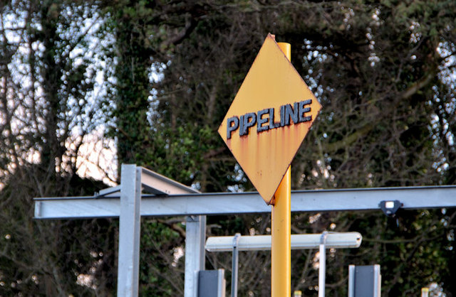
Image: © Albert Bridge Taken: 6 Feb 2013
A yellow diamond sign, beside the North Down coastal path, warning about the outfall from the Seahill waste water treatment works Image Previously seen in March 2008 Image
Images are licensed for reuse under creativecommons.org/licenses/by-sa/2.0
Image Location
Latitude
54.668714
Longitude
-5.766151