Trent floodplain
Introduction
The photograph on this page of Trent floodplain by Richard Croft as part of the Geograph project.
The Geograph project started in 2005 with the aim of publishing, organising and preserving representative images for every square kilometre of Great Britain, Ireland and the Isle of Man.

There are currently over 7.5m images from over 14,400 individuals and you can help contribute to the project by visiting https://www.geograph.org.uk
Trent floodplain
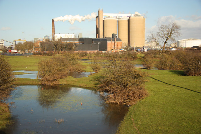
Image: © Richard Croft Taken: 4 Feb 2013
View across the Trent floodplain from Smeaton's Arches causeway on the Great North Road towards Newark Sugar Factory
Images are licensed for reuse under creativecommons.org/licenses/by-sa/2.0
Image Location
Latitude
53.086153
Longitude
-0.817022