Former railway bridge on A382
Introduction
The photograph on this page of Former railway bridge on A382 by Derek Harper as part of the Geograph project.
The Geograph project started in 2005 with the aim of publishing, organising and preserving representative images for every square kilometre of Great Britain, Ireland and the Isle of Man.

There are currently over 7.5m images from over 14,400 individuals and you can help contribute to the project by visiting https://www.geograph.org.uk
Former railway bridge on A382
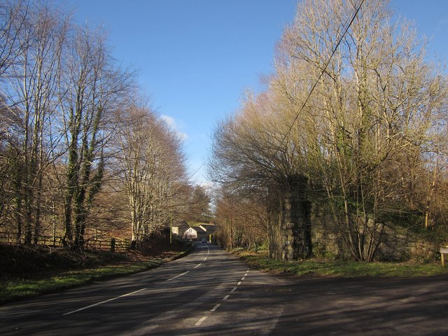
Image: © Derek Harper Taken: 2 Feb 2013
Taken from the same spot as Image], showing the next hurdle to be crossed on the Wray Valley Trail in its progress southeastwards from Moretonhampstead, the bridge to the northwest having been re-spanned - see Image] and Image At the next bend is Steward Farm. On the right is the track shown in Image
Images are licensed for reuse under creativecommons.org/licenses/by-sa/2.0
Image Location
Latitude
50.653452
Longitude
-3.747555