Name board of former Restaurant Boleyn
Introduction
The photograph on this page of Name board of former Restaurant Boleyn by John Baker as part of the Geograph project.
The Geograph project started in 2005 with the aim of publishing, organising and preserving representative images for every square kilometre of Great Britain, Ireland and the Isle of Man.

There are currently over 7.5m images from over 14,400 individuals and you can help contribute to the project by visiting https://www.geograph.org.uk
Name board of former Restaurant Boleyn
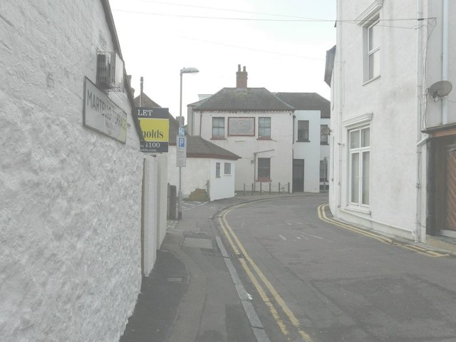
Image: © John Baker Taken: 27 Jan 2013
As seen from Castle Road. The front entrance was at 23 Sandgate High Street. The sign is very difficult to decipher; only the letters TAU are plainly visible on close examination, but the name features in a listing I have that used to be published by Yellow Pages.
Images are licensed for reuse under creativecommons.org/licenses/by-sa/2.0
Image Location
Latitude
51.073625
Longitude
1.147375