Woodbrook
Introduction
The photograph on this page of Woodbrook by Paul Anderson as part of the Geograph project.
The Geograph project started in 2005 with the aim of publishing, organising and preserving representative images for every square kilometre of Great Britain, Ireland and the Isle of Man.

There are currently over 7.5m images from over 14,400 individuals and you can help contribute to the project by visiting https://www.geograph.org.uk
Woodbrook
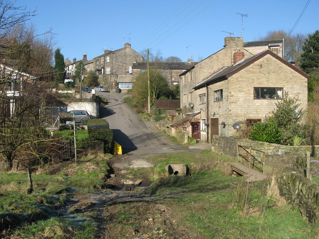
Image: © Paul Anderson Taken: 7 Feb 2007
The small hamlet of Woodbrook, near Springhead, lies at the bottom end of Woodbrook Road. From here on after, when you have passed through the ford, the road turns into a green lane which is suitable only for four wheel drive vehicles.
Images are licensed for reuse under creativecommons.org/licenses/by-sa/2.0
Image Location
Latitude
53.544059
Longitude
-2.051723