Daventry
Introduction
The photograph on this page of Daventry by Michael Trolove as part of the Geograph project.
The Geograph project started in 2005 with the aim of publishing, organising and preserving representative images for every square kilometre of Great Britain, Ireland and the Isle of Man.

There are currently over 7.5m images from over 14,400 individuals and you can help contribute to the project by visiting https://www.geograph.org.uk
Daventry
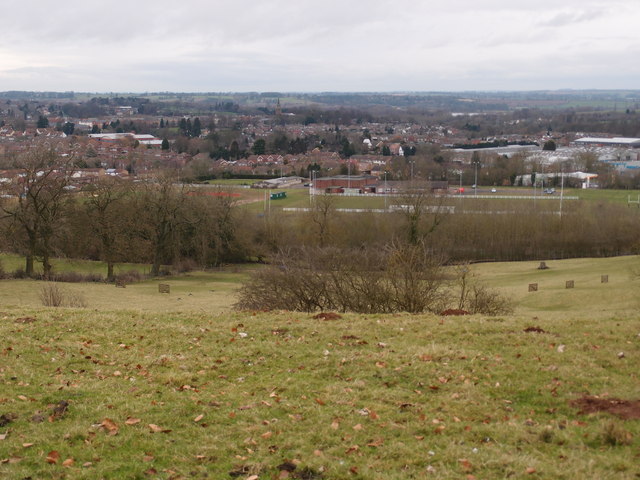
Image: © Michael Trolove Taken: 3 Feb 2013
The rugby club is in the mid ground, a steep hill is in the foreground which had recently been used for sledging judging by the abandoned and wrecked plastic sledges laying around.
Images are licensed for reuse under creativecommons.org/licenses/by-sa/2.0
Image Location


Leaflet Map data © OpenStreetMap
Latitude
52.246346
Longitude
-1.159231