Holton le Clay station house
Introduction
The photograph on this page of Holton le Clay station house by Chris as part of the Geograph project.
The Geograph project started in 2005 with the aim of publishing, organising and preserving representative images for every square kilometre of Great Britain, Ireland and the Isle of Man.

There are currently over 7.5m images from over 14,400 individuals and you can help contribute to the project by visiting https://www.geograph.org.uk
Holton le Clay station house
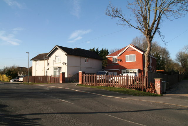
Image: © Chris Taken: 4 Feb 2013
To the right of the white station house, the red house stands on the old railway trackbed: see 2009 photo: Image There is also a new house opposite on the trackbed (on the southern side): see 2007 photo Image
Images are licensed for reuse under creativecommons.org/licenses/by-sa/2.0
Image Location
Latitude
53.505716
Longitude
-0.05656