Well Lane
Introduction
The photograph on this page of Well Lane by Humphrey Bolton as part of the Geograph project.
The Geograph project started in 2005 with the aim of publishing, organising and preserving representative images for every square kilometre of Great Britain, Ireland and the Isle of Man.

There are currently over 7.5m images from over 14,400 individuals and you can help contribute to the project by visiting https://www.geograph.org.uk
Well Lane
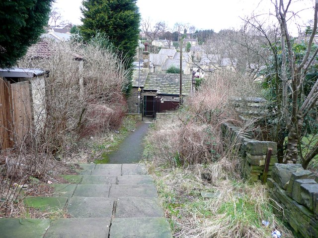
Image: © Humphrey Bolton Taken: 30 Jan 2013
The well is shown on the six-inch and 1:2500 maps of c.1895, but not on this lane. The original Well Lane was further to the south. This little area seems to have seen drastic changes in the early 20C. The present-day public footpath turns right when it reaches the gate, and reaches Castle Fields Drive via the snicket shown in Image
Images are licensed for reuse under creativecommons.org/licenses/by-sa/2.0
Image Location
Latitude
53.691836
Longitude
-1.791435