Flush Bracket, Whitchurch Road
Introduction
The photograph on this page of Flush Bracket, Whitchurch Road by Neil Owen as part of the Geograph project.
The Geograph project started in 2005 with the aim of publishing, organising and preserving representative images for every square kilometre of Great Britain, Ireland and the Isle of Man.

There are currently over 7.5m images from over 14,400 individuals and you can help contribute to the project by visiting https://www.geograph.org.uk
Flush Bracket, Whitchurch Road
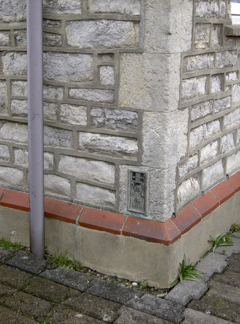
Image: © Neil Owen Taken: 4 Feb 2013
A flush bracket, on the Upton Lovell to Flax Bourton levelling line and dating from the early twentieth century period, located on a cottage in south-west Bristol. See http://www.bench-marks.org.uk/bm2689 for the entry in the Benchmark Database and details about number 84.
Images are licensed for reuse under creativecommons.org/licenses/by-sa/2.0
Image Location
Latitude
51.415694
Longitude
-2.616265