The Torr Rd near East Torr
Introduction
The photograph on this page of The Torr Rd near East Torr by Robert Ashby as part of the Geograph project.
The Geograph project started in 2005 with the aim of publishing, organising and preserving representative images for every square kilometre of Great Britain, Ireland and the Isle of Man.

There are currently over 7.5m images from over 14,400 individuals and you can help contribute to the project by visiting https://www.geograph.org.uk
The Torr Rd near East Torr
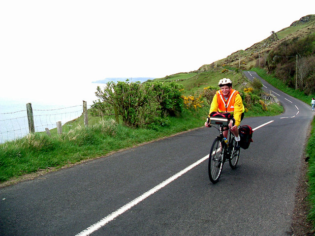
Image: © Robert Ashby Taken: 2 May 2004
Considered a challenge even for 4x4 drivers and especially for those attempting it with a caravan in tow despite the warning notices at the bottom, the sight of a cyclist pedalling up the steep Torr Road from Cushendun never fails to produce looks of astonishment at the summit.
Images are licensed for reuse under creativecommons.org/licenses/by-sa/2.0
Image Location
Latitude
55.193958
Longitude
-6.076069