Bridle Path at Shitterton
Introduction
The photograph on this page of Bridle Path at Shitterton by Nigel Mykura as part of the Geograph project.
The Geograph project started in 2005 with the aim of publishing, organising and preserving representative images for every square kilometre of Great Britain, Ireland and the Isle of Man.

There are currently over 7.5m images from over 14,400 individuals and you can help contribute to the project by visiting https://www.geograph.org.uk
Bridle Path at Shitterton
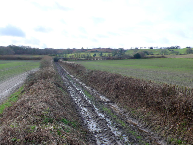
Image: © Nigel Mykura Taken: 1 Feb 2013
This very muddy bridle path leads from Shitterton up onto Black Hill. On some OS maps the name of the hamlet has been Bowdlerised to Sitterton and there is a Sitterton Close nearby.
Images are licensed for reuse under creativecommons.org/licenses/by-sa/2.0
Image Location
Latitude
50.753293
Longitude
-2.228886