Valley of the Slitrig Water
Introduction
The photograph on this page of Valley of the Slitrig Water by Jim Barton as part of the Geograph project.
The Geograph project started in 2005 with the aim of publishing, organising and preserving representative images for every square kilometre of Great Britain, Ireland and the Isle of Man.

There are currently over 7.5m images from over 14,400 individuals and you can help contribute to the project by visiting https://www.geograph.org.uk
Valley of the Slitrig Water
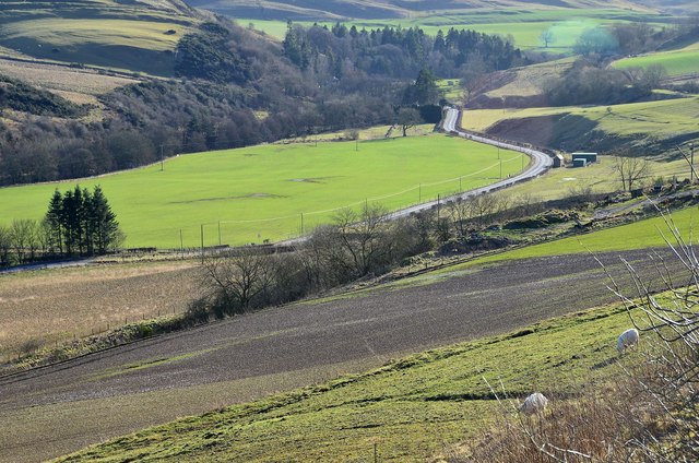
Image: © Jim Barton Taken: 2 Feb 2013
The B6399 road follows the Slitrig valley south from Hawick, which was also the route used by the Waverley railway line on its way to Carlisle. The viewpoint is on the track down to Flex farm.
Images are licensed for reuse under creativecommons.org/licenses/by-sa/2.0
Image Location
Latitude
55.403548
Longitude
-2.785904