SW boundary of Cam, a Fairtrade Village
Introduction
The photograph on this page of SW boundary of Cam, a Fairtrade Village by Jaggery as part of the Geograph project.
The Geograph project started in 2005 with the aim of publishing, organising and preserving representative images for every square kilometre of Great Britain, Ireland and the Isle of Man.

There are currently over 7.5m images from over 14,400 individuals and you can help contribute to the project by visiting https://www.geograph.org.uk
SW boundary of Cam, a Fairtrade Village
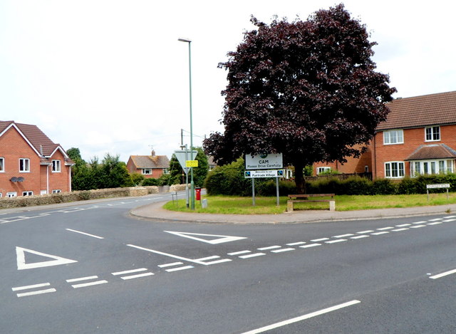
Image: © Jaggery Taken: 21 Jul 2012
A sign under the Cam boundary sign shows Welcome to our Fairtrade Village. The location is the junction of the B4066 Dursley Road on the right and the B4060 Woodfield Road on the left.
Images are licensed for reuse under creativecommons.org/licenses/by-sa/2.0
Image Location
Latitude
51.692472
Longitude
-2.37827