Grandstand Road
Introduction
The photograph on this page of Grandstand Road by Oliver Dixon as part of the Geograph project.
The Geograph project started in 2005 with the aim of publishing, organising and preserving representative images for every square kilometre of Great Britain, Ireland and the Isle of Man.

There are currently over 7.5m images from over 14,400 individuals and you can help contribute to the project by visiting https://www.geograph.org.uk
Grandstand Road
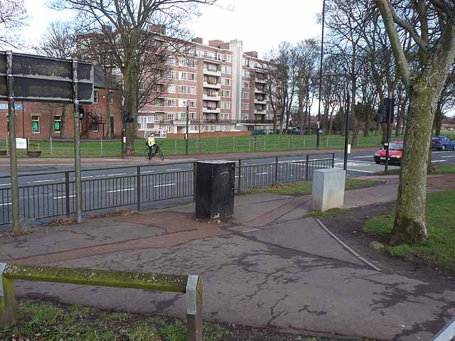
Image: © Oliver Dixon Taken: 1 Feb 2013
A cyclist waits at the pedestrian crossing by the junction of Kenton Road with Grandstand Road (A189). On this side of the road, a path across Newcastle Town Moor provides a safe traffic-free route for cyclists and pedestrians into the City Centre.
Images are licensed for reuse under creativecommons.org/licenses/by-sa/2.0
Image Location
Latitude
54.995124
Longitude
-1.628592