Trees at Beacon Hill
Introduction
The photograph on this page of Trees at Beacon Hill by Roger Jones as part of the Geograph project.
The Geograph project started in 2005 with the aim of publishing, organising and preserving representative images for every square kilometre of Great Britain, Ireland and the Isle of Man.

There are currently over 7.5m images from over 14,400 individuals and you can help contribute to the project by visiting https://www.geograph.org.uk
Trees at Beacon Hill
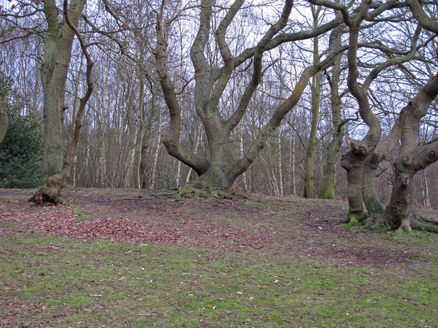
Image: © Roger Jones Taken: 3 Feb 2013
Beacon Hill is the highest point of Lingwood Common, and offers a viewing point close to these trees. Lingwood Common is a National Trust site.
Images are licensed for reuse under creativecommons.org/licenses/by-sa/2.0
Image Location


Leaflet Map data © OpenStreetMap
Latitude
51.723297
Longitude
0.575709