Mayflower Road
Introduction
The photograph on this page of Mayflower Road by Ian Capper as part of the Geograph project.
The Geograph project started in 2005 with the aim of publishing, organising and preserving representative images for every square kilometre of Great Britain, Ireland and the Isle of Man.

There are currently over 7.5m images from over 14,400 individuals and you can help contribute to the project by visiting https://www.geograph.org.uk
Mayflower Road
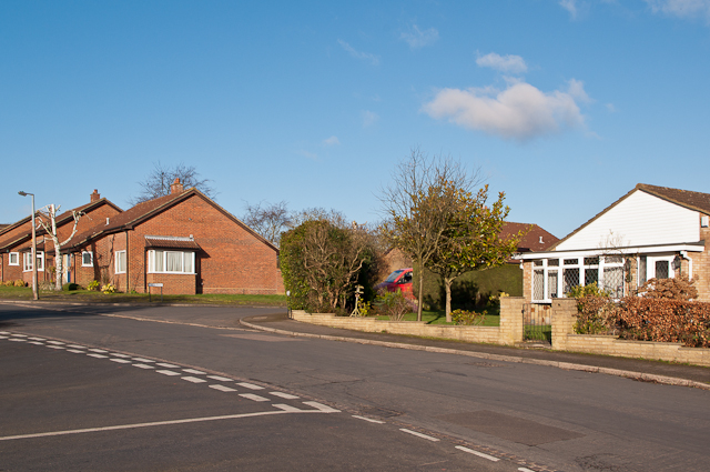
Image: © Ian Capper Taken: 2 Feb 2013
1970s bungalows in the large residential area of How Wood off the North Orbital Road, development of which started in the 1950s.
Images are licensed for reuse under creativecommons.org/licenses/by-sa/2.0
Image Location
Latitude
51.722461
Longitude
-0.351694