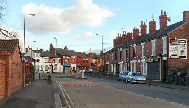
The end of Market Street
Introduction
The photograph on this page of The end of Market Street by Gerald England as part of the Geograph project.
The Geograph project started in 2005 with the aim of publishing, organising and preserving representative images for every square kilometre of Great Britain, Ireland and the Isle of Man.
There are currently over 7.5m images from over 14,400 individuals and you can help contribute to the project by visiting https://www.geograph.org.uk

Image: © Gerald England Taken: 2 Feb 2013
At what came to be known as the Ring o' Bells roundabout Image the B6468 changes its name from Market Street to Stockport Road. The roundabout was built in 2006 to accommodate the clock tower which used to be inside the James North factory on the left. The factory was closed in 1998 and subsequently demolished. An estate of houses was built on the site. On the right, the "Lynks" mortgage advice shop was formerly Stockport Road Post Office (although now on Market Street - it had previously been located in Stockport Road just beyond the Ring o' Bells). The pub Image at the beginning of Stockport Road recently closed.
Image Location


