The Rosendale, Rosendale Road
Introduction
The photograph on this page of The Rosendale, Rosendale Road by Stephen Richards as part of the Geograph project.
The Geograph project started in 2005 with the aim of publishing, organising and preserving representative images for every square kilometre of Great Britain, Ireland and the Isle of Man.

There are currently over 7.5m images from over 14,400 individuals and you can help contribute to the project by visiting https://www.geograph.org.uk
The Rosendale, Rosendale Road
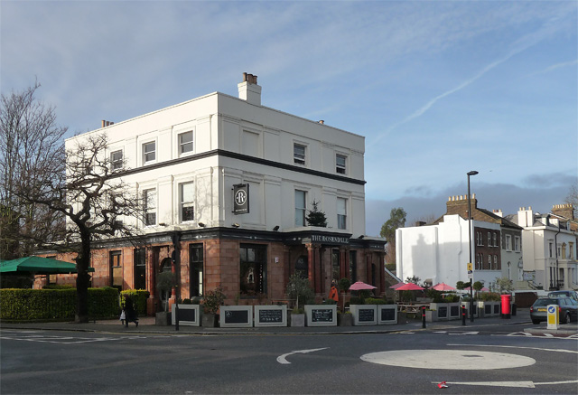
Image: © Stephen Richards Taken: 23 Dec 2012
At the corner of Park Hall Road. A mid-C19th pub, tarted up in recent years like so many others and now I suppose counts as a gastro-pub. Grade II listed.
Images are licensed for reuse under creativecommons.org/licenses/by-sa/2.0
Image Location
Latitude
51.435728
Longitude
-0.094313